
 MTB tour Trepalle - Bocchetta Valle Lunga - Trepalle (28 July 2023)
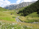 |
The Valaccia torrent below Trepalle 28-07-2023 10:59 10.1806°E, 46.5258°N, 1980m |
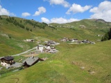 |
Hamlet Isola below Trepalle 28-07-2023 11:03 10.1808°E, 46.5311°N, 1980m |
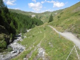 |
Pila valley and Passo d'Eira in the background 28-07-2023 11:20 10.1939°E, 46.5328°N, 2060m |
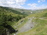 |
Pila valley and Passo d'Eira in the background 28-07-2023 11:40 10.2017°E, 46.5311°N, 2170m |
 |
Heifers near Passo di Val Trela 28-07-2023 12:17 10.2172°E, 46.5283°N, 2280m |
 |
Passo di Val Trela, to the west (Val Pila) 28-07-2023 12:27 10.2197°E, 46.5272°N, 2295m |
 |
Val Trela from the homony pass, with the Cima Doscopa 28-07-2023 12:27 10.2197°E, 46.5272°N, 2295m |
 |
From Bocchetta Valle Lunga towards Passo di Val Trela 28-07-2023 13:17 10.2336°E, 46.5250°N, 2335m |
 |
View on lake San Giacomo di Fraéle from Bocchetta Valle Lunga 28-07-2023 13:18 10.2336°E, 46.5250°N, 2335m |
 |
Bocchetta Valle Lunga und Val Trela 28-07-2023 13:26 10.2339°E, 46.5250°N, 2340m |
 |
From Bocchetta Valle Lunga, Bocche di Tela can be seen on the left and Bocchetta Trelina can be guessed on the right 28-07-2023 13:27 10.2339°E, 46.5250°N, 2340m |
 |
Path between Bocchetta Valle Lunga and Passo di Val Trela 28-07-2023 13:36 10.2319°E, 46.5253°N, 2310m |