
 MTB Tour Disentis - Fellilücke - Andermatt - Erstfeld (15 September 2012)
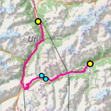 |
65 km |
| 1563 m ^ | |
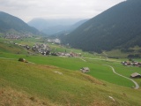 |
Sedrun and Rueras 15-09-2012 10:27 8.7394°E, 46.6747°N, 1540m |
 |
The Oberalp road and the railway (under a gallery), between Tschamut and the pass 15-09-2012 11:08 8.7044°E, 46.6592°N, 1910m |
 |
Val Val 15-09-2012 11:21 8.6889°E, 46.6656°N, 1980m |
 |
Pass Tiarms as seen from Val Val 15-09-2012 11:21 8.6889°E, 46.6656°N, 1980m |
 |
The Oberalp pass when coming down from Pass Tiarms 15-09-2012 11:44 8.6733°E, 46.6611°N, 2060m |
 |
Fellilücke as seen from the south (climbing from the Oberalp) 15-09-2012 12:26 8.6683°E, 46.6700°N, 2340m |
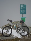 |
Bicycle allowed up to here but not further 15-09-2012 12:47 8.6650°E, 46.6736°N, 2478m |
 |
View over the Oberalp from Platten (mule track to Fellilücke) 15-09-2012 12:56 8.6653°E, 46.6703°N, 2440m |
 |
Piz Tiarms from Platten, over the Oberalp lake 15-09-2012 13:08 8.6611°E, 46.6664°N, 2420m |
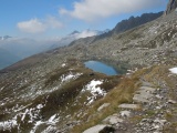 |
Lake of Luter 15-09-2012 13:15 8.6519°E, 46.6661°N, 2400m |
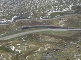 |
Oberalp road and railway between Nätschen and the lake 15-09-2012 13:15 8.6519°E, 46.6661°N, 2400m |
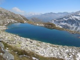 |
Luter lake, view over the Oberalp towards the Anterior Rhine valley, with Pass Tiarms visible left from the Calmut 15-09-2012 13:22 8.6431°E, 46.6650°N, 2390m |
 |
Andermatt and the Urseren valley as seen from Nätschen 15-09-2012 13:37 8.6111°E, 46.6489°N, 2140m |
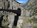 |
The Devil's Bridge 15-09-2012 13:55 8.5911°E, 46.6472°N, 1400m |
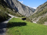 |
Path over the gallery of the Schöllenen road 15-09-2012 14:00 8.5856°E, 46.6508°N, 1300m |