


La Seila
 |
CH (FR), 7.0242°E, 46.4778°N | |||
 |
1091 m |  |
CH-FR-1091 | |
 |
Montbovon, 797m, 4km | |||
 |
Montbovon, 797m, 3km | |||
 |
 |
 | ||
 |


| |||
 |
macadam on the east side | |||
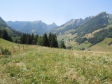
The Hongrin Valley as seen from La Seila | ||||
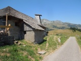
The Seila chalet, with the Dent de Lys and the Grand Sex in the background | ||||
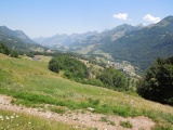
The Intyamon valley as seen from La Seila | ||||