
 MTB tour Compatsch - Alp Trida - Zeblasjoch - Samnaun - Compatsch (3 August 2023)
 |
27 km |
| 1390 m ^ | |
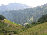 |
Valley of Samnaun, Curschiglias crest and Piz Mundin 03-08-2023 10:41 10.3928°E, 46.9708°N, 1990m |
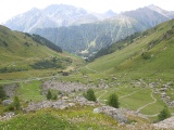 |
Valley of the Milbach creek, Curschiglias crest towards Piz Motnair, Piz Mundin, Malmurainza and Muttler in the background 03-08-2023 10:58 10.3897°E, 46.9764°N, 2200m |
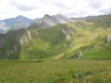 |
View to the south-west from Alptrider Eck with Piz Ot and, further away to the left, Piz Tschütta 03-08-2023 11:41 10.3628°E, 46.9717°N, 2496m |
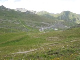 |
Alp Trida 03-08-2023 11:47 10.3653°E, 46.9736°N, 2440m |
 |
Ausser Viderjoch on its Swiss side 03-08-2023 12:46 10.3408°E, 46.9789°N, 2730m |
 |
Ausser Viderjoch and the Flimspitz summit 03-08-2023 12:56 10.3403°E, 46.9783°N, 2730m |
 |
Ausser Viderjoch on tis Austrian side 03-08-2023 12:56 10.3403°E, 46.9783°N, 2730m |
 |
From Idjoch towards Alptrider Sattel 03-08-2023 13:07 10.3369°E, 46.9750°N, 2751m |
 |
Idjoch on its Ischgl side, with the mountains Küchenspitze in the middle, Seekopf, Saumspitze and Fatlarspitze further to the right 03-08-2023 13:07 10.3369°E, 46.9750°N, 2751m |
 |
Greitspitz 03-08-2023 13:25 10.3344°E, 46.9725°N, 2810m |
 |
From Greitspitz towards Paliner Kopf and, on the horizon, Piz Fenga 03-08-2023 13:44 10.3328°E, 46.9686°N, 2830m |
 |
Near Salaaser Kopf towards Idalpe 03-08-2023 14:17 10.3242°E, 46.9522°N, 2699m |
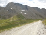 |
In the mountain slope of Paliner Kopf with Zeblasjoch and Piz Rots 03-08-2023 14:50 10.3072°E, 46.9414°N, 2620m |
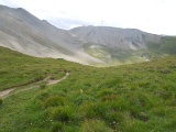 |
From Zeblasjoch towards Fuorcla Val Gronda 03-08-2023 15:02 10.3089°E, 46.9375°N, 2539m |
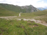 |
From Zeblasjoch to the Val Musauna valley down to Samnaun 03-08-2023 15:02 10.3089°E, 46.9375°N, 2539m |
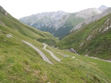 |
Gravel track with laces in the Val Musauna valley 03-08-2023 15:24 10.3217°E, 46.9433°N, 2330m |
 |
Val Musauna 03-08-2023 15:41 10.3286°E, 46.9408°N, 2140m |