


Dietisberg
 |
CH (BL), 7.8346°E, 47.4003°N | |||
 |
717 m |  |
CH-BL-0716 | |
 |
Läufelfingen, 559m, 2km Leime, 685m, 1km | |||
 |
Eptingen, 557m, 3km | |||
 |


| |||
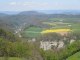
View towards Buckten and, in the background, the heights of the Black Forest with snow | ||||
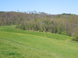
Dietisberg, from where the Hasengatter pass can be guessed | ||||